Thursday, August 31, 2006

Tops to Myall (part IV)

Blue Gums at Shorty's Camp - day 8, our designated rest day

Skye relaxing at Shorty's camp


Campfire (this was actually taken at Log Dump (Day 5), but you get the general impression...

Day 8 was a rest day. We got driven out to the nearest campsite to Buladelah by the Pub's courtesy bus, and spent the rest of the day just hanging out. Luckily we'd filled up all our water vessels, as the theme of no water at campsites continued.

My blisters were most, most grateful for this day off.

Tops to Myall (part III) - The Great Escape!

End of Day 7 we are rescued by "Bill Odie"...
. ..after deserting the trail due to impenetrable bushland.

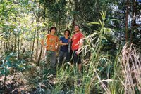
Just prior to the impenetrable bushland, we had reached the happy marker indicating that we were Halfway!


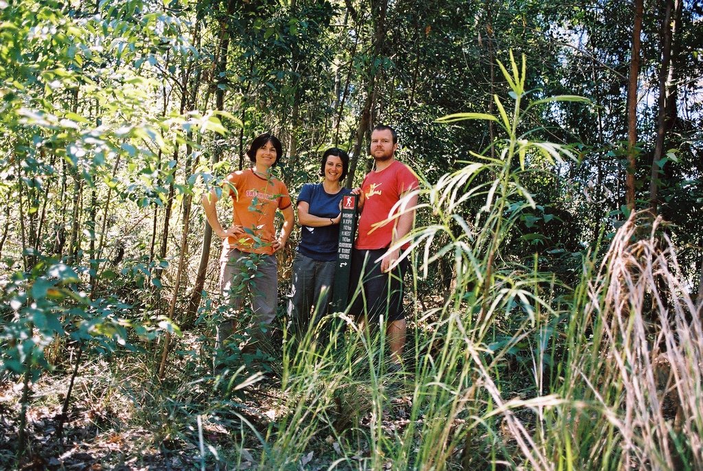
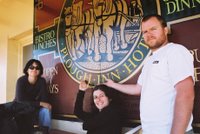
Enjoying the Bulahdelah pub (day 8)

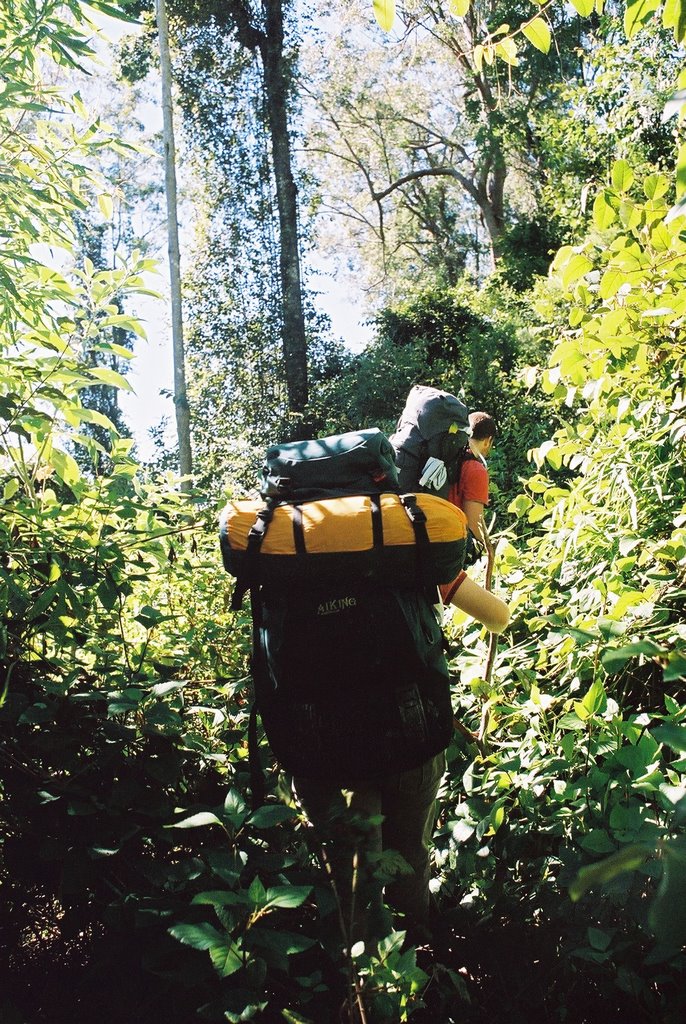
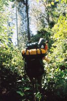
Days 5-7 were a haze of greenery and endless walking. Day 6 sticks in my mind as the day I experienced the worst blisters I have ever known. Aside from this we passed from the Barrington Tops area through the Avon State Forest, down the mountains through Craven ( a rest area and a phone box, and not much else), and into the Craven State Forest. Our campsites were characterised by the occasional nice small fire and a general lack of water. Dinners always tasted great.

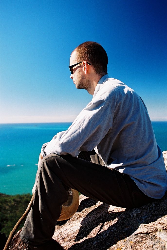
Day 7 was another day, with a supposed section of the track going through private property belonging to the Johnstone Sawmill. After reaching the halfway marker and passing a red-bellied black snake sunning itself on the track, we reached a locked gate, and here the arduous journey began. At first it was a fun challenge, but soon hacking our way through lantana, having our skin torn apart on rasberry and stung by stinging nettles became quite tiresome. Eventually there was no way forward, and we had to turn around and hack our way back out. We had some lunch, and decided to make a detour along (yet more) fire trail, to meet up with the track where it crossed the road about 16km away. As the day waned and my blistered feet protested, we were still 7km from the point at which we were supposed to regain the trail. Yet as the sun set on Day 7, we were blessed by an angel in disguise - the man we call "Bill Odie" (for some reason Al thought he looked just like Bill Odie...) actually stopped (perhaps my hitchhiking thumb had a certain sense of desperation to it) and gave us a ride. Turns out he was heading straight for Bulahdela. With nary a backward glance or a thought of cheating we chorused, "To Bulahdelah!"
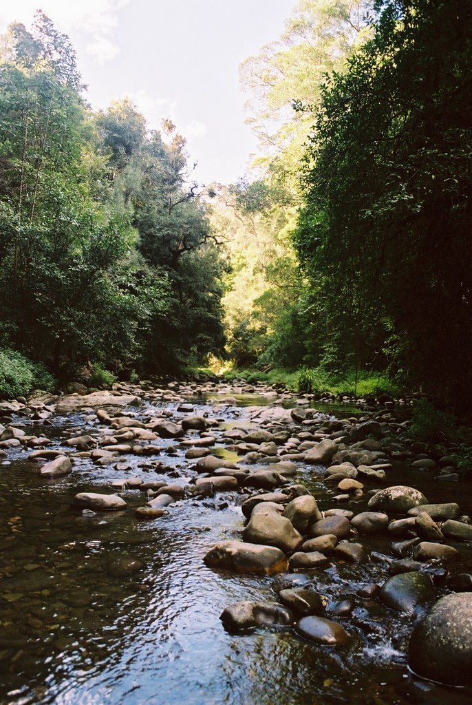
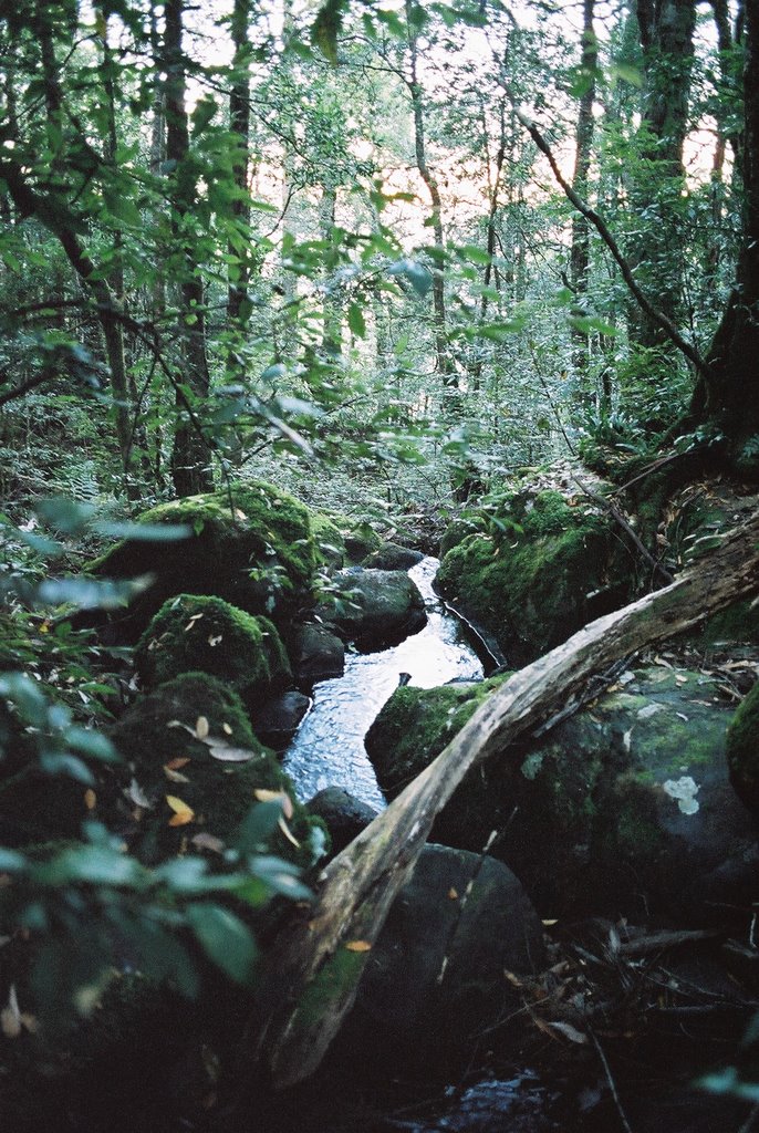
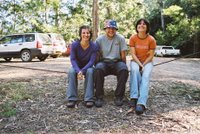
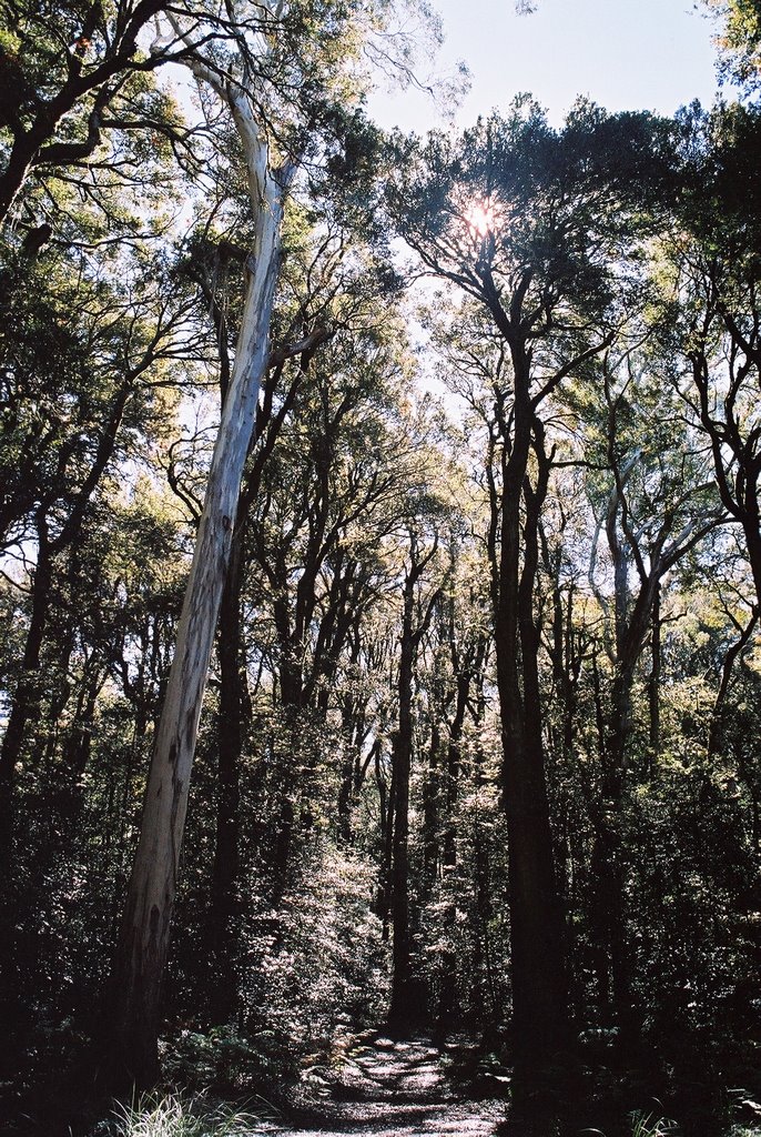
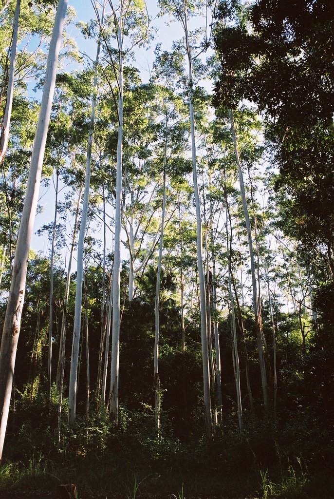
Tops to Myall (part II)

The Ford, where we arrived at the end of Day 4, weary, irritable, and resenting the walk (and the Lions Club of tea gardens, who've clearly never walked the thing from end to end)

The creek below Munro Hut in the early morning of Day 3


Munro Hut, the delightful old hiker's hut we arrived at on Day 2 - so far, so good!

"Go 'Shtralia!", as Alan said every time he put on his hat. After crossing the Gloucester River (Day 3) in true Aussie style (well, maybe style is the wrong word...)

Day 2 of the walk was quite pleasant, 17km of bush track meandering through mostly open forest. We arrived sooner than expected at the Munro Hut, which was a lovely ramshackle shelter maintained by the Newcastle Bushwalking club. We even had time for a refreshing wash in the nearby creek - downstream of where we collected our water, obviously!

Day 3 saw us setting of in high spirits, though we'd heard it was going to be a tough day of uphill and down. Well, this was an understatement! After crossing the Gloucester River ("Go 'Shtralia!") things went steadily downhill...and then up...and up...and up. It then started to rain. We ended up pitching our tent in the pouring rain, in the middle of the track as it was too dark to keep walking. Oh yeah, and we had no water left.

Day 4 we hit the fire trail, and that was the end of pleasant bush tracks. Our spirits were low, and they got lower, as we took a wrong turn and had to face the prospect of walking an extra few kilometres just to get back to where we needed to be. One good thing about this was that we actually got to enjoy A View, something that had been denied us thus far on our walk due to tall trees and dense forest. And as we ate our lunch, we saw our saviours - a lovely retired couple who happily drove us back to where we were supposed to be. This lifted the spirits for a while, but really, we were hot, tired, sore, and getting fed up with the walk and each other - and it was only the 4th day!

By the time we hit the Ford, we'd decided to pitch our tents and take a break. We'd trudged around 15km.

Big Walk - Tops to Myall Heritage Trail (part I)

At Wombat Creeek campsite, at the end of Day 1 - three hours of walking straight up (the ascent is 1000m over 10km!)

"We're all gonna DIE!" Starting out at Lagoon Pinch, Barrington Tops (L to R: Isa, Al, Skye)

The bush track through Barrington Tops NP

Day 1 seemed like a hard slog, but at least we were mentally prepared for it - we'd heard the rumours that it was just straight uphill, and it tunred out those rumours were correct! Still, we arrived in good spirits. 10km didn't seem too far to walk, even if it was straight up!

Wednesday, August 23, 2006


Hinchinbrook Beauty...
We had some fabulous encounters with wildlife on the island (luckily no crocodiles!), including this curious tortoise, who was really keen to have a stickybeak as we

swam and enjoyed our lunch on Day 3

PICS: treefern; morning at Banksia Bay; short-necked tortoise


Day 1 on Hinchinbrook
(and sunrise from day 2!)
Apparently in no particular order...
Clinton at the pseudo-peak of Nina Peak; Clinton and I set off; flowering grasstree stalk; sunrise of Day 2, on Nina Beach - just beautiful!

Monday, August 21, 2006


Heading to Hinchinbrook Island...days of warmth and freedom!